Waterfront Living In Wrightsville Beach: Intracoastal Homes Guide
March 24, 2026
March 24, 2026
If you love the idea of stepping from your back deck onto a dock and cruising out to open water, Wrightsville Beach might be your sweet spot. You get quick access to the Intracoastal Waterway and nearby inlets, plus a vibrant boating scene and laid-back coastal vibe. In this guide, you’ll learn how tides, docks, permits, flood insurance and home styles shape life along the sound. You will also get a simple checklist to shop smarter. Let’s dive in.
Wrightsville Beach wraps around sound-side waterways like Banks Channel, Mott’s Channel and Masonboro Sound, with fast access to the Atlantic through nearby inlets. Marina resources line the Intracoastal Waterway, which makes fueling, provisioning and service simple for most boaters. You get a shorter run to the ocean than many coastal towns.
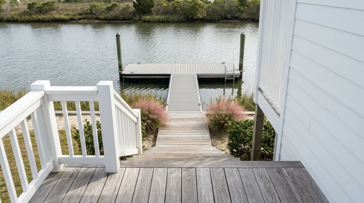
Waterfront here is also highly regulated to keep navigation safe and public waters open. The Town enforces pierhead lines and reviews dock placement to protect channels and public trust access. If you plan to add or modify a dock, expect local review along with state and federal layers that set technical limits on length and platform size. You can browse a snapshot of nearby marina options on the Intracoastal Waterway to get a feel for typical approach depths and amenities.
Tides drive your daily routine on the sound. NOAA’s Wrightsville Beach station (8658163) provides real-time water levels and predictions you can use to plan launches, dock use and lift settings. Mean High Water here is around 4 feet above MLLW, which helps explain why dock freeboard and lift heights matter for safe mooring. If you have a deeper-draft boat, always check the predicted tide window before heading through shallow side channels.
Approach depths vary across canals and channels. Marinas along the Intracoastal often have deeper approaches than private canal lots, but each site is different. In season, public ramps and town-managed access points get busy, and no-wake zones are common where boats and swimmers mix. If you are evaluating a specific property, verify depth at mean low water, bridge clearances and any local limits before you assume year-round access for your boat.
Day in the life: You check NOAA’s morning tides and see a mid-morning high. You idle out from Banks Channel at slack current, grab fuel and a slip at a nearby marina on the Intracoastal, then point toward the inlet for a smooth run offshore. On the way back, you time the tide for an easy return to your lift.
Inside town limits, you must have a local building permit for any pier or dock work. At the state level, most shoreline projects require review under North Carolina’s Coastal Area Management Act rules. Many projects also fall under U.S. Army Corps of Engineers coverage, especially where navigation or federal channels are involved.
Wrightsville Beach enforces a pierhead line that limits how far structures can extend into public trust waters. Long piers that impair navigation or cross that line are not allowed. This is why two similar lots can have very different dock lengths or platform allowances.
Expect rules that favor durable, low-debris materials. Local advocacy has helped phase out unencapsulated polystyrene floats, which break apart and pollute waterways. Ask whether an existing dock was built under a permit and if materials meet current standards before you buy.
A typical path includes a pre-application chat with Town Planning and Inspections, contact with the NC Division of Coastal Management, and possible notification or permits from the Corps. You will submit drawings, confirm pierhead-line compliance and coordinate with a licensed marine contractor on timing. After storms, emergency repair allowances may speed certain fixes, but scope and timelines still depend on the rules that apply to your site.
Most of Wrightsville Beach is mapped in FEMA Special Flood Hazard Areas. That means floodplain development rules, elevation documentation and added review when you renovate or build. As a buyer, plan for flood readiness to be part of normal coastal due diligence.
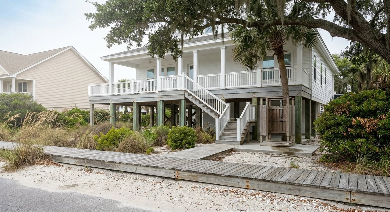
Local tidal datums help explain design choices you will see, like homes on pilings with open ground-level parking. Elevating living space and placing critical equipment above design flood levels are standard in mapped coastal zones.
If you finance a home in a mapped flood zone through a federally regulated lender, flood insurance is usually required. Premiums depend on your elevation relative to Base Flood Elevation, the structure type and the policy you select. An Elevation Certificate or a Letter of Map Amendment can change costs, so gather documents early and speak with a knowledgeable insurance pro.
Wrightsville Beach completed the consolidation of its water and sewer service with Cape Fear Public Utility Authority in 2025. For new projects or account setup, you will coordinate with CFPUA going forward.
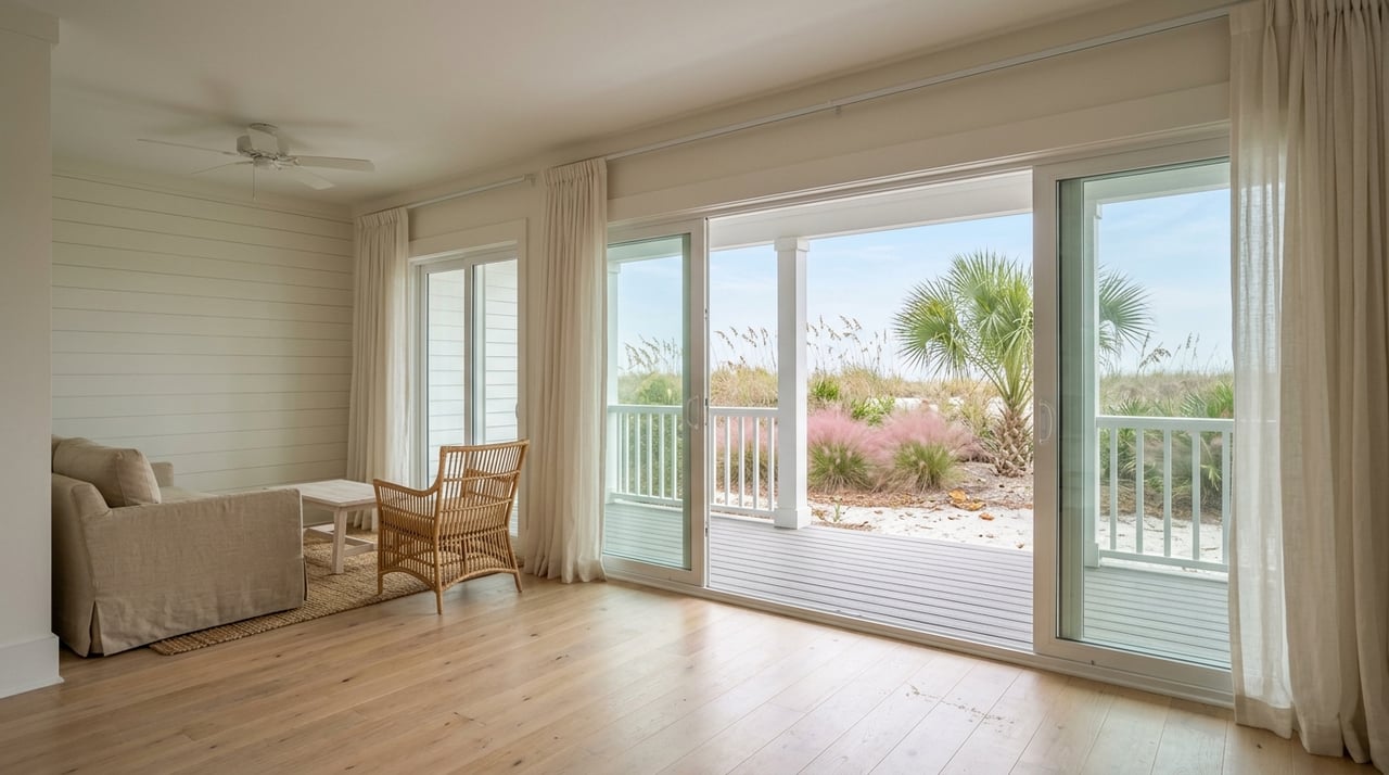
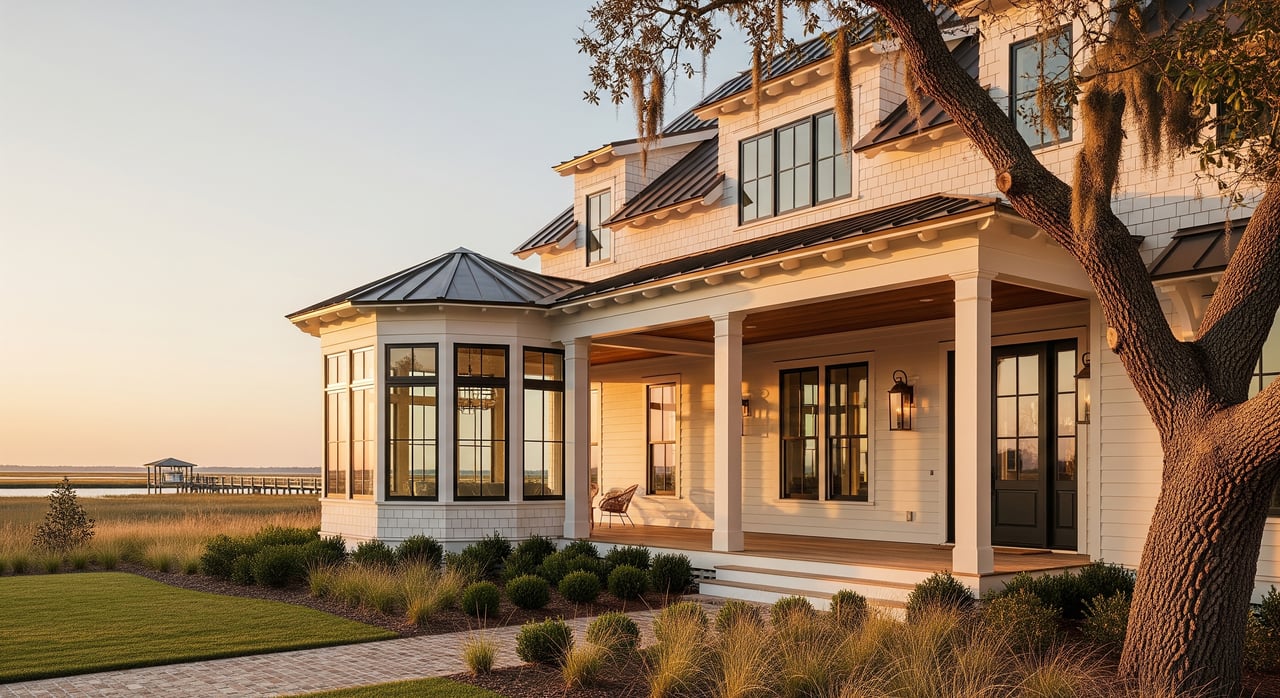
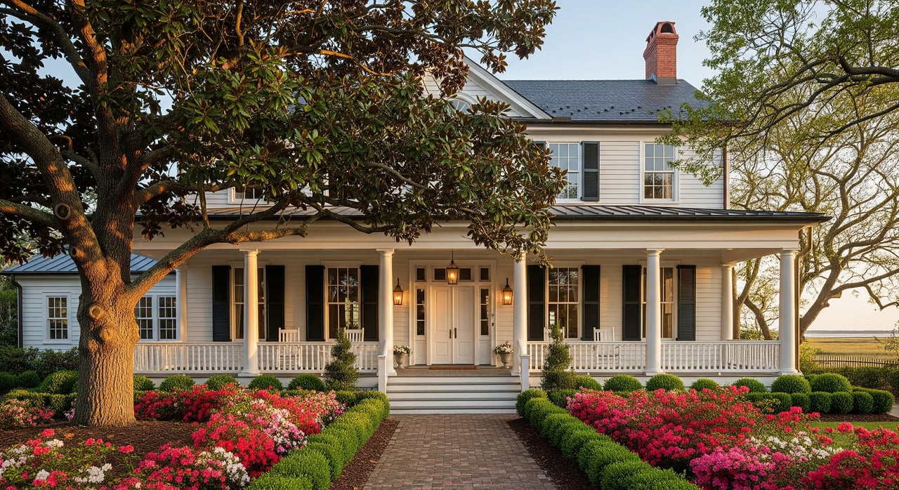
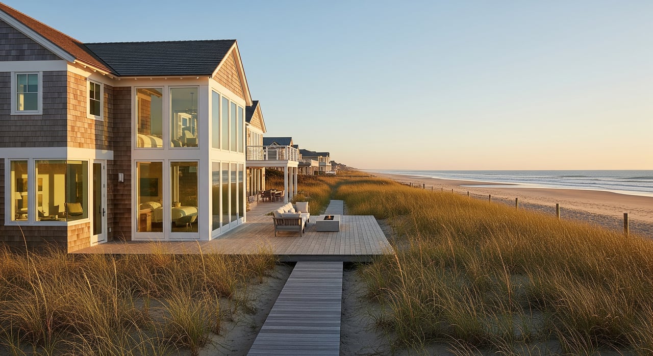
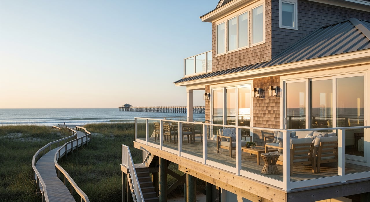
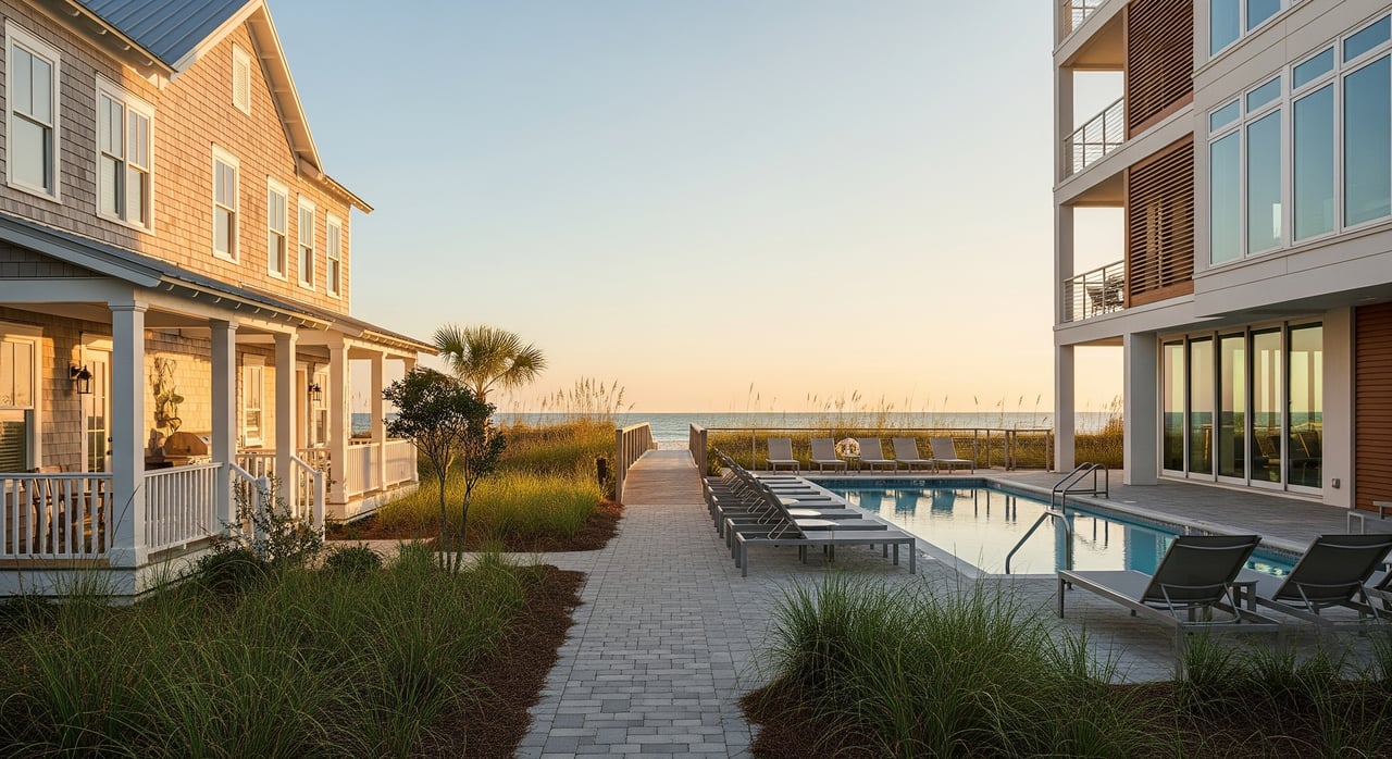
You will find elevated beach houses on pilings, modern multi-story rebuilds with under-house parking, and townhomes or condos with assigned slips or marina memberships. Intracoastal-facing homes often maximize sound and inlet views, and they follow stricter setbacks and elevation standards typical of coastal zones.
Expect a mix of pile-supported fixed piers with floating sections, boatlifts and T-heads at marina slips. Dock length and platform size are shaped by pierhead lines and coastal permitting rules, so match your boat to the property rather than the other way around. When in doubt, verify water depth at mean low water and any fixed-bridge clearances.
Salt air speeds up corrosion and wears on exterior finishes. HVAC systems, metal fasteners and boatlift parts need regular checks, and pilings should be inspected for marine-borer damage in brackish and salt water. Many owners choose treated or composite materials and use wrapped pilings to extend service life. Where feasible, living shorelines can reduce long-term erosion and maintenance compared with hard bulkheads.
Ready to explore Wrightsville Beach waterfront life with a local who will walk you through tides, permits and insurance step by step? Reach out to Renee W Reitzel for hands-on guidance and listings tailored to your boating and lifestyle goals.
Stay up to date on the latest real estate trends.
Whether you’re ready to start or just have questions, Renee is here to help. Reach out today to get one step closer to your Carolina dream.